Older adults, people with disabilities and other populations are poorly served by modern map applications because these phone and web apps do not contain or account for key pieces of information about sidewalks, travel environments and community transportation options.
The Transportation Data Equity Initiative (TDEI), a project supported by the U.S. Department of Transportation’s ITS4US program and led by the University of Washington’s Taskar Center for Accessible Technology (TCAT), is developing ways to collect, validate and disseminate travel data to use in applications that will help people of all abilities to plan trips more easily—particularly older adults, veterans and travelers with disabilities.
Traveler Inequity
Modern mapping tools such as Google Maps or Moovit give travelers the unprecedented ability to locate transit services, compare travel options, filter possibilities and streamline trip information within one application. But, many populations that experience travel disadvantages do not fully benefit from these “new mobility” tools. The maps often lack information they seek (i.e., Will there be a sidewalk or curb ramp there to support me? Is this crosswalk signalized and marked? Is this bus stop lit at night?). These data often are not collected, or are not available to trip planners in a consistent, digitally readable way.
Collecting New Data for Better Mobility
To improve the ability to travel for all people, the TDEI project is developing new ways to collect and disseminate the data that describe the availability and characteristics of sidewalks, on-demand transit and transportation center layouts. This short article restricts the discussion to sidewalks.
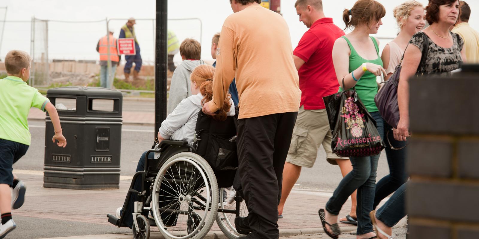
The presence, design and condition of sidewalks is key to the completion of nearly all trips. Sidewalks connect almost all modes of transportation. Sidewalks are not ubiquitous and even when present, limitations in their design and quality can result in obstacles to all pedestrians, albeit to varying degrees. For example, a curb with no curb ramps can be inaccessible to a person using a wheelchair, as well as a person pushing a stroller or towing a shopping cart.
Making a Difference
We are enacting this project because there is a need to collect and standardize these kinds of data. By making data high quality and consistent, trip planners can provide customized options. Most of us have used digital maps with automated routing for pedestrians and been sent through streets with no sidewalks, up unreasonable inclines or stairs we could not climb. With the new TDEI standards and high quality collection, customized trips can be automatically provided. A path recommended for someone who uses a white cane may differ from one recommended for a traveler who uses a wheelchair—both routes being right for that person, though not necessarily the shortest way to the destination.
In 2016, Clifford Snow, a retiree living in Mt. Vernon, Wash., joined TCAT’s early efforts. Snow is an avid participant and volunteer with the open and shared data-mapping community OpenStreetMap. He attended several events to learn about the sidewalk mapping standard and hear recommendations on editing the map. Within less than eight months, through a combination of time spent documenting his walking trips and organizing mapping parties, Snow completely mapped the city of Mt. Vernon.
With eight months, organized mapping parties and detailed data entry, one man helped map an entire town.
Many possibilities are created using this data. Thanks to Snow’s and others’ efforts, going to AccessMap.io (operating in Seattle, Bellingham and Mt. Vernon, Wash.) allows anyone to experiment with an existing software tool that lets travelers explore pedestrian information and to route themselves over sidewalks.
This map application is pedestrian-centric in that it is focused on depicting sidewalk infrastructure and footpaths. Each sidewalk is color-coded to represent the level of difficulty the traveler will experience traversing it. As users change the profile to indicate their abilities, the color-coded map will change to reflect the new settings. People averse to hills can tune down the maximum uphill incline so the map suggests only those paths they will be comfortable walking up. Those seeking only to use curbs with ramps can check the box. View this video to learn about additional visual designs to explore in the map.
When using the automated routing feature, paths are calculated based on the same personal preferences users dial in. Through joint work with local contributors, city-scale tools have been enabled allowing all travelers to plan trips that are safe and accessible to them.
As part of the ITS4US project, there will be expanded data availability, data tools and pipelines that support traveler-centric tools like AccessMap.io. And it’s relatively easy to bring these capabilities to any community. Communities can support the growth and early reach of these data and tools.
TCAT is building a toolkit to enable communities to prioritize and map their own sidewalks. When a community is mapped, not only can people find better walking paths, but community officials and advocacy groups can use that same data to make better data-driven decisions about where improvements are most needed to support active, healthy lifestyles, building effectively toward greener, more resilient, livable neighborhoods.
For more information, or for anyone considering leading or joining a group in their community, please reach out to transitequity@cs.washington.edu.
Anat Caspi, PhD, is principal scientist at the Paul G. Allen School of Computer Science & Engineering and director of the Taskar Center for Accessible Technology at the University of Washington, in Seattle. Dylan Cottrell is content editor at Taskar.

